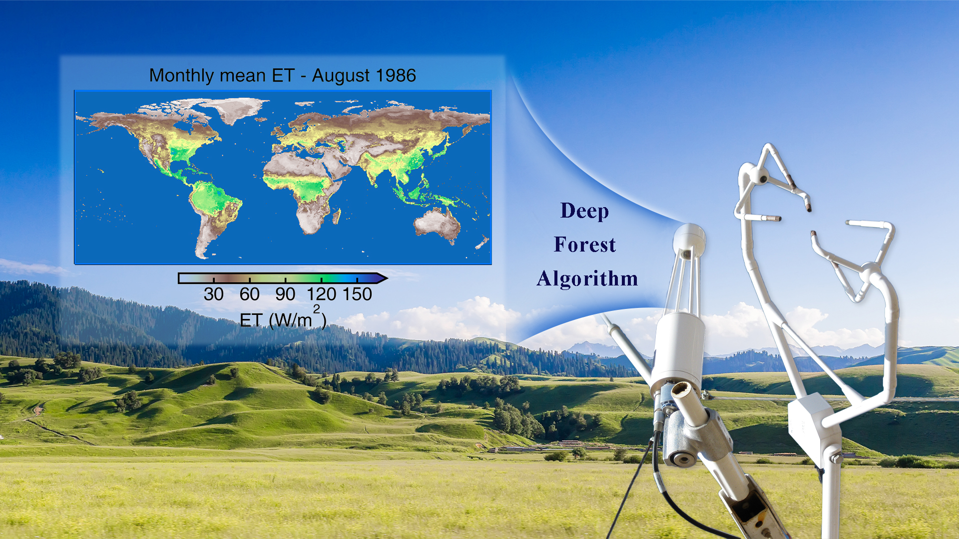
Land evapotranspiration (ET) plays a crucial role in studying the feedback mechanisms of terrestrial ecosystems to climate, directly influencing key ecological processes such as water cycle, temperature regulation, and carbon exchange. Existing ET products offer information for understanding ET at different temporal and spatial scales. However, current products have shortcomings in method selection, parameter determination, and accurately capturing surface heterogeneity. Additionally, many products do not incorporate FLUXNET observational data as constraints in their construction processes, leading to accuracy deficiencies at small scales.

Associate Professor Zhenzhong Zeng’s research group from the School of Environmental Science and Engineering (ESE) and Professor Jiang Liu’s research group from the Department of Computer Science and Engineering at the Southern University of Science and Technology (SUSTech) recently collaborated on a study that leverages the Deep Forest deep learning algorithm and integrates data from the global long-term flux observation network (FLUXNET). It has constructed the global land evapotranspiration dataset (HG-Land), providing new data support for in-depth research on land-atmosphere interactions.
Their work, entitled “Long-term gridded land evapotranspiration reconstruction using Deep Forest with high generalizability”, has been published in Scientific Data, a journal covering all areas of natural sciences, medicine, engineering and social sciences.
The researchers utilized the Deep Forest algorithm, combining meteorological and vegetation datasets (CRU TS v4.05, ERA5-Land, and NOAA CDR AVHRR LAI and FAPAR v5.0), along with FLUXNET2015 observational data, to develop a new global land ET product, HG-Land. This dataset provides monthly average ET data and uncertainty estimates from 1982 to 2018, with a spatial resolution of 0.5°×0.5°.
The results indicate that, compared to other mainstream products such as FLUXCOM and GLEAM (Figure 1), the HG-Land dataset exhibits the best accuracy at site scale, with a root mean square error of 16.18 mm/month. At the basin scale, statistical metrics show a good correlation with the benchmark dataset CLASS, indicating that the Deep Forest algorithm captures surface heterogeneity and possesses satisfying generalization capability.

Figure 1. Comparison of three ET products with FLUXNET observation data and the CLASS benchmark dataset at the basin scale
Furthermore, the study assessed the accuracy of ET estimations under different land cover types at the site scale (Figure 2). The results demonstrate that, in most cases, HG-Land outperforms the other two products.

Figure 2. Accuracy comparison of three ET products under different land cover types
Additionally, the researchers employed model interpretation tools such as Shapley Additive exPlanations (SHAP) and Accumulated Local Effects (ALE) to compare the contributions of features to ET estimations in wet and dry regions. They explored ET responses to changes in these features. The study revealed variations in the primary factors influencing ET estimations in different humid and arid climate zones. In humid regions, surface net solar radiation is the dominant driver, while in dry climates, both surface net solar radiation and leaf area index emerge as the two principal drivers.
Qiaomei Feng, a master’s student at SUSTech, is the first author of the paper. Associate Professor Zhenzhong Zeng and Research Assistant Professor Dashan Wang are the corresponding authors, and SUSTech is the first affiliated unit. Other collaborators include Professor Jiang Liu, Associate Professor Xingxing Kuang, master’s students Junyong Shen and Shijing Liang, and postdoctoral researcher Feng Yang.
This work was supported by the National Natural Science Foundation of China and the Start-Up Fund of SUSTech.
Paper link: https://www.nature.com/articles/s41597-023-02822-8
To read all stories about SUSTech science, subscribe to the monthly SUSTech Newsletter.
Proofread ByAdrian Cremin, Yingying XIA
Photo BySchool of Environmental Science and Engineering